You are here: About the River > Publications
River Thames Guide Books & Leaflets
Revealing the River Thames
This is a handy leaflet which opens out as a map, providing useful information of how to spend your time on the river with ideas such as walking the Thames Path National Trail, hiring a boat, which tourist attractions to visit and where to spend the night. Interactive version now available! *Updated in 2010*
Download - Revealing the River Thames
Get afloat on the River Thames
This guide gives you all the information you need to get out on the water. The Environment Agency have provided a comprehensive list of all the boat operators on the non-tidal Thames including contact details and services.
*Updated in 2009*
Download - Get afloat on the River Thames
Go camping on the River Thames
This guide to camping is perfect for organising a camping trip or when planning to walk the Thames Path. It lists campsites on or near the non-tidal Thames and includes contact numbers, location, number of pitches and facilities provided at each site.
*Updated in 2010*
Download - Go Camping on the River Thames
Boating
Cruising Guide to The River Thames and Connecting Waterways 2012/13 published by British Marine Federation - Thames Valley.
Walking
Henley on Thames - A choice of walks from Henley along the River Thames into the Chilterns Conservation Hills produced by Chilterns Conservation Board
Goring & Streatley - Circular walks along the River Thames around Goring & Streatley produced by Chilterns Conservation Board
Easy access Cookham walk produced by The Royal Borough of Windsor & Maidenhead
River Thames - Walks around Buscot
The Environment Agency have got three walks available for you to choose from in the historic Buscot area, all ideal for those who like a gentle stoll in the countryside. The separate map features all three walks. *Updated in June 2008*
Download - A historic walk around Buscot - Walk One
Download - Buscot and St Johns walk - Walk Two
Download - Buscot and Eaton Hastings walk - Walk Three
Download map showing all three walks
Walks for all by the River Thames - a selection of easy walks produced by the Thames Path National Trail in partnership with the Environment Agency.
Location map - A map showing locations of all 12 accessible walks.
Neigh Bridge walk - Walk alongside a man-made lake in the Cotswold Water Park.
Lechlade-on-Thames walk - Walk along the River Thames with fine views and the opportunity to visit the first lock on the river, St Johns.
Abingdon walk - Walk along a wonderful stretch of the river including pleasant parkland with views of historic Abingdon.
Goring-on-Thames walk - Walk along a short stretch of riverside with views of lovely gardens and hills rising beyond the river and the historic settlement of Goring-on-Thames.
Pangbourne walk - Walk in meadows next to the river with glorious views of the wooded Chiltern Hills.
Reading walk - Walk along a lovely riverside path with a choice of open parkland upstream or urban promenade downstream.
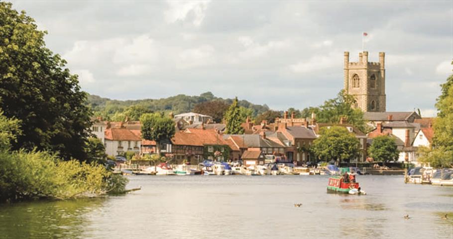
Henley-on-Thames walk - A popular riverside path along one of the most famous stretches of the river.
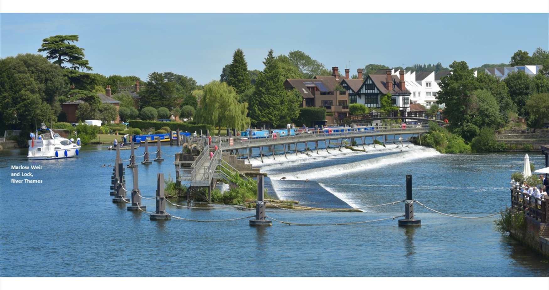
Marlow walk - Paths alongside the river, busy with a range of boats in the sumer, and within a popular park in the heart of the lovely town of Marlow.
Maidenhead walk - A range of paths around this delightful, peaceful, wooded island in middle of the River Thames.
Runnymede walk - A popular well-maintained park by the River Thames with plenty of short grass and play areas. Look out for the parakeets!
Penton Hook walk - A lovely, quiet secluded wooded island hidden away on the river with a number of routes to explore and the opportunity to fish.
Molesey walk - Pleasant paths along the banks of the River Thames through parkland with views of Garrick's Temple and islands.
.png)


